Old Milestone by the A20, Ashford Road, Harrietsham Parish
Introduction
The photograph on this page of Old Milestone by the A20, Ashford Road, Harrietsham Parish by C Woodward as part of the Geograph project.
The Geograph project started in 2005 with the aim of publishing, organising and preserving representative images for every square kilometre of Great Britain, Ireland and the Isle of Man.

There are currently over 7.5m images from over 14,400 individuals and you can help contribute to the project by visiting https://www.geograph.org.uk
Old Milestone by the A20, Ashford Road, Harrietsham Parish
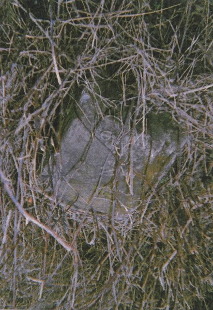
Image: © C Woodward Taken: 2 Jul 2007
Stone post (plates lost) by the A20, in parish of HARRIETSHAM (MAIDSTONE District), Ashford Road, East of village, under railway bridge, in grass bank behind pavement, on North side of road. Maidstone double iron plate, erected by the Ashford & Maidstone turnpike trust in the 19th century. Inscription reads:- : Maidsto(n)e / (7) : : (Ashford / 11) : Carved benchmark on remains. Milestone Society National ID: KE_LF42.
Images are licensed for reuse under creativecommons.org/licenses/by-sa/2.0
Image Location
Latitude
51.242156
Longitude
0.681601