Old Boundary Marker by Silver Street path, Emery Down, Minstead Parish
Introduction
The photograph on this page of Old Boundary Marker by Silver Street path, Emery Down, Minstead Parish by Milestone Society as part of the Geograph project.
The Geograph project started in 2005 with the aim of publishing, organising and preserving representative images for every square kilometre of Great Britain, Ireland and the Isle of Man.

There are currently over 7.5m images from over 14,400 individuals and you can help contribute to the project by visiting https://www.geograph.org.uk
Old Boundary Marker by Silver Street path, Emery Down, Minstead Parish
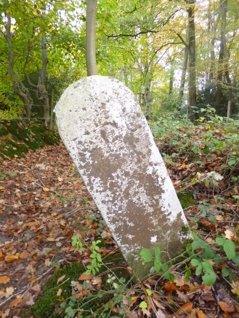
Image: © Milestone Society Taken: Unknown
Estate Boundary Marker by the footpath, in parish of Minstead (New Forest District), Emery Down, continuation of Silver Street, at field entrance. Surveyed Milestone Society National ID: HA_MINM01em
Images are licensed for reuse under creativecommons.org/licenses/by-sa/2.0
Image Location
Latitude
50.876649
Longitude
-1.588777