Old Milestone by the A68, Lauder
Introduction
The photograph on this page of Old Milestone by the A68, Lauder by Milestone Society as part of the Geograph project.
The Geograph project started in 2005 with the aim of publishing, organising and preserving representative images for every square kilometre of Great Britain, Ireland and the Isle of Man.

There are currently over 7.5m images from over 14,400 individuals and you can help contribute to the project by visiting https://www.geograph.org.uk
Old Milestone by the A68, Lauder
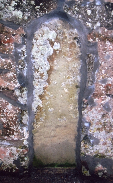
Image: © Milestone Society Taken: Unknown
By the A68, in parish of Lauder (Berwick District), South end of Lauder, 50m South of Wyndhead Lodge entrance, built flush into wall, 50m North from Thirlestane Crescent junction. Inscription once read:- : (Edinburgh 25) : Surveyed Milestone Society National ID: BD_EDMR26
Images are licensed for reuse under creativecommons.org/licenses/by-sa/2.0
Image Location
Latitude
55.716883
Longitude
-2.741567