Old Milestone, A39, Bath Hill, East of Walcombe
Introduction
The photograph on this page of Old Milestone, A39, Bath Hill, East of Walcombe by JR Dowding as part of the Geograph project.
The Geograph project started in 2005 with the aim of publishing, organising and preserving representative images for every square kilometre of Great Britain, Ireland and the Isle of Man.

There are currently over 7.5m images from over 14,400 individuals and you can help contribute to the project by visiting https://www.geograph.org.uk
Old Milestone, A39, Bath Hill, East of Walcombe
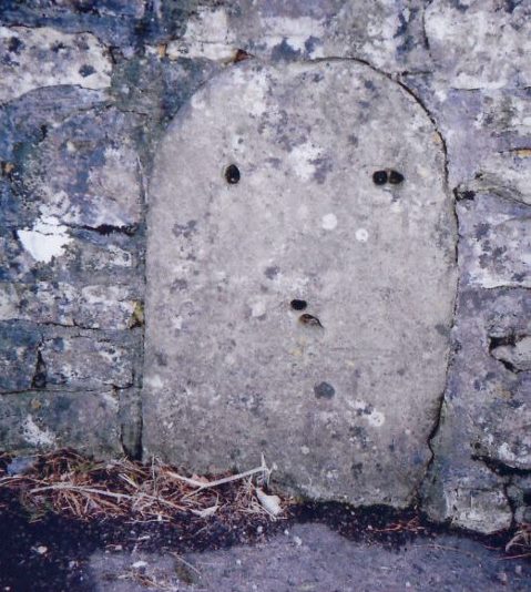
Image: © JR Dowding Taken: 9 Jan 2008
The milestone is located about half a mile north from the junction with Walcombe Lane, in the wall beside the pavement on the south side of road. Parish of St Cuthbert Out (Mendip District). Stone post (plate lost), erected by the Wells turnpike trust in the 19th century. Inscription once read:- : (Bath 19⅞ / Wells 1) : Milestone Society National ID: SO_BWWL21
Images are licensed for reuse under creativecommons.org/licenses/by-sa/2.0
Image Location
Latitude
51.221159
Longitude
-2.637504