Path on edge of Calais Muir Wood
Introduction
The photograph on this page of Path on edge of Calais Muir Wood by Robert Struthers as part of the Geograph project.
The Geograph project started in 2005 with the aim of publishing, organising and preserving representative images for every square kilometre of Great Britain, Ireland and the Isle of Man.

There are currently over 7.5m images from over 14,400 individuals and you can help contribute to the project by visiting https://www.geograph.org.uk
Path on edge of Calais Muir Wood
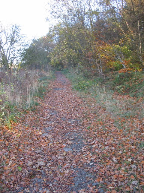
Image: © Robert Struthers Taken: 5 Nov 2007
This path would at one time have been a country road, running from Linburn Road to the now demolished Muirhouses farm.
Images are licensed for reuse under creativecommons.org/licenses/by-sa/2.0
Image Location


Leaflet Map data © OpenStreetMap
Latitude
56.068325
Longitude
-3.400295