Byway from Stoner Hill
Introduction
The photograph on this page of Byway from Stoner Hill by Paul Collins as part of the Geograph project.
The Geograph project started in 2005 with the aim of publishing, organising and preserving representative images for every square kilometre of Great Britain, Ireland and the Isle of Man.

There are currently over 7.5m images from over 14,400 individuals and you can help contribute to the project by visiting https://www.geograph.org.uk
Byway from Stoner Hill
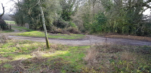
Image: © Paul Collins Taken: 27 Jan 2019
Here a byway loops off the metalled lane and from the loop drops down (centre view) through Ashford Hanger towards Steep.
Images are licensed for reuse under creativecommons.org/licenses/by-sa/2.0
Image Location
Latitude
51.027397
Longitude
-0.961014