Gisborne Road: odd one out
Introduction
The photograph on this page of Gisborne Road: odd one out by John Sutton as part of the Geograph project.
The Geograph project started in 2005 with the aim of publishing, organising and preserving representative images for every square kilometre of Great Britain, Ireland and the Isle of Man.

There are currently over 7.5m images from over 14,400 individuals and you can help contribute to the project by visiting https://www.geograph.org.uk
Gisborne Road: odd one out
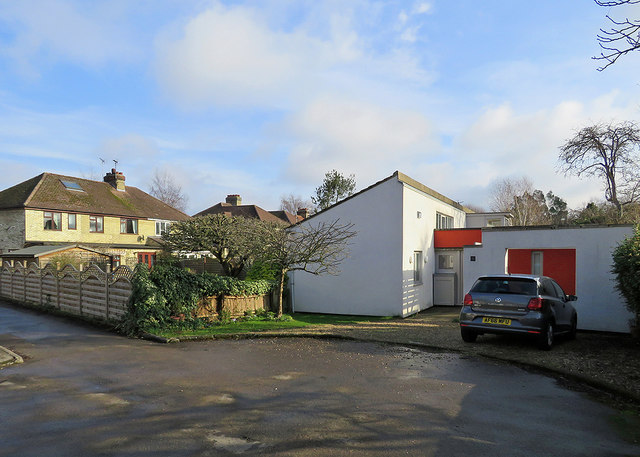
Image: © John Sutton Taken: 2 Feb 2019
In an area of near-identical semi-detached houses of pre-war design, this house is an exception.
Images are licensed for reuse under creativecommons.org/licenses/by-sa/2.0
Image Location


Leaflet Map data © OpenStreetMap
Latitude
52.190485
Longitude
0.148916