Railway bridge and road junction to the east of Wigton
Introduction
The photograph on this page of Railway bridge and road junction to the east of Wigton by Nigel Monckton as part of the Geograph project.
The Geograph project started in 2005 with the aim of publishing, organising and preserving representative images for every square kilometre of Great Britain, Ireland and the Isle of Man.

There are currently over 7.5m images from over 14,400 individuals and you can help contribute to the project by visiting https://www.geograph.org.uk
Railway bridge and road junction to the east of Wigton
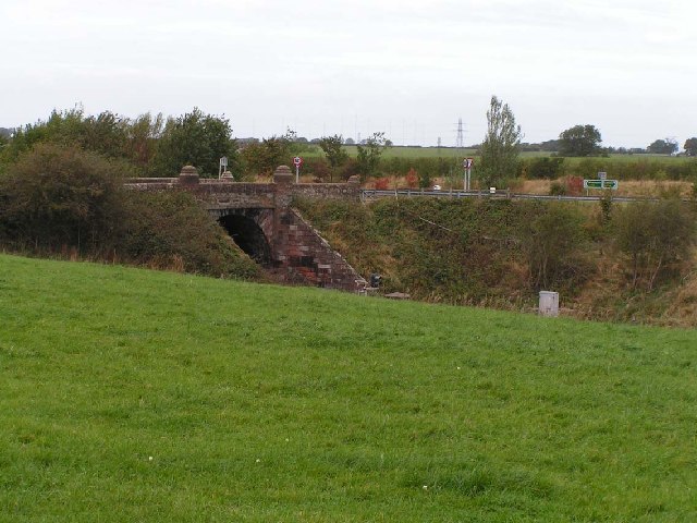
Image: © Nigel Monckton Taken: 2 Oct 2005
This railway bridge used to carry the main Carlisle/Maryport road into Wigton. The junction links the old main road to the relatively new by-pass that runs to the north of the town.
Images are licensed for reuse under creativecommons.org/licenses/by-sa/2.0
Image Location


Leaflet Map data © OpenStreetMap
Latitude
54.833185
Longitude
-3.137993