Plumstead Common
Introduction
The photograph on this page of Plumstead Common by Derek Harper as part of the Geograph project.
The Geograph project started in 2005 with the aim of publishing, organising and preserving representative images for every square kilometre of Great Britain, Ireland and the Isle of Man.

There are currently over 7.5m images from over 14,400 individuals and you can help contribute to the project by visiting https://www.geograph.org.uk
Plumstead Common
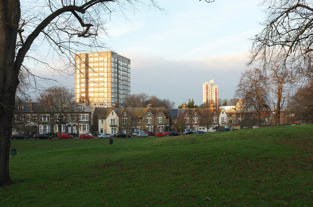
Image: © Derek Harper Taken: 4 Jan 2019
Near the western corner of the common, from Plumstead Common Road. The houses are along St Margaret's Grove, with a glimpse of the Shree Kutch Satsang Swaminarayan Temple just right of the right-hand tower block (Claymill House). The nearer block is at The Oaks.
Images are licensed for reuse under creativecommons.org/licenses/by-sa/2.0
Image Location
Latitude
51.482229
Longitude
0.074694