Cycleway, Cramlington
Introduction
The photograph on this page of Cycleway, Cramlington by Richard Webb as part of the Geograph project.
The Geograph project started in 2005 with the aim of publishing, organising and preserving representative images for every square kilometre of Great Britain, Ireland and the Isle of Man.

There are currently over 7.5m images from over 14,400 individuals and you can help contribute to the project by visiting https://www.geograph.org.uk
Cycleway, Cramlington
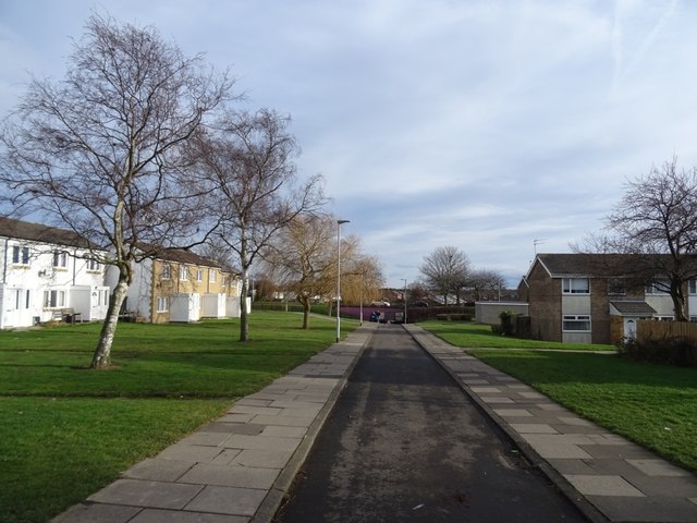
Image: © Richard Webb Taken: 26 Jan 2019
New Town planning between Allerhope and Anton Place, a rare example of a road dedicated to non motorised transport.
Images are licensed for reuse under creativecommons.org/licenses/by-sa/2.0
Image Location
Latitude
55.080431
Longitude
-1.581595