Old Boundary Marker at Harnham Hill, Netherhampton Parish
Introduction
The photograph on this page of Old Boundary Marker at Harnham Hill, Netherhampton Parish by Milestone Society as part of the Geograph project.
The Geograph project started in 2005 with the aim of publishing, organising and preserving representative images for every square kilometre of Great Britain, Ireland and the Isle of Man.

There are currently over 7.5m images from over 14,400 individuals and you can help contribute to the project by visiting https://www.geograph.org.uk
Old Boundary Marker at Harnham Hill, Netherhampton Parish
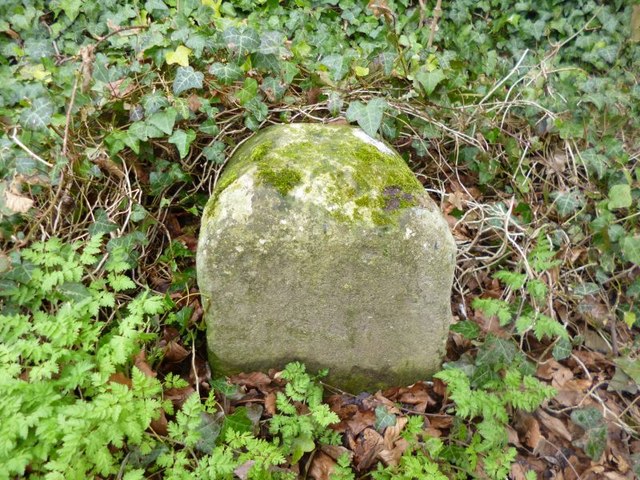
Image: © Milestone Society Taken: Unknown
Parish Boundary Marker in the parish of Netherhampton (Salisbury District), Harnham Hill, 10m North of junction with Shaftesbury Old Drove on footpath. Surveyed Milestone Society National ID: WI_NETHAR01pb.
Images are licensed for reuse under creativecommons.org/licenses/by-sa/2.0
Image Location


Leaflet Map data © OpenStreetMap
Latitude
51.054252
Longitude
-1.811619