Old Bridge Marker by the former A30, Fairmile, Talaton Parish
Introduction
The photograph on this page of Old Bridge Marker by the former A30, Fairmile, Talaton Parish by Alan Rosevear as part of the Geograph project.
The Geograph project started in 2005 with the aim of publishing, organising and preserving representative images for every square kilometre of Great Britain, Ireland and the Isle of Man.

There are currently over 7.5m images from over 14,400 individuals and you can help contribute to the project by visiting https://www.geograph.org.uk
Old Bridge Marker by the former A30, Fairmile, Talaton Parish
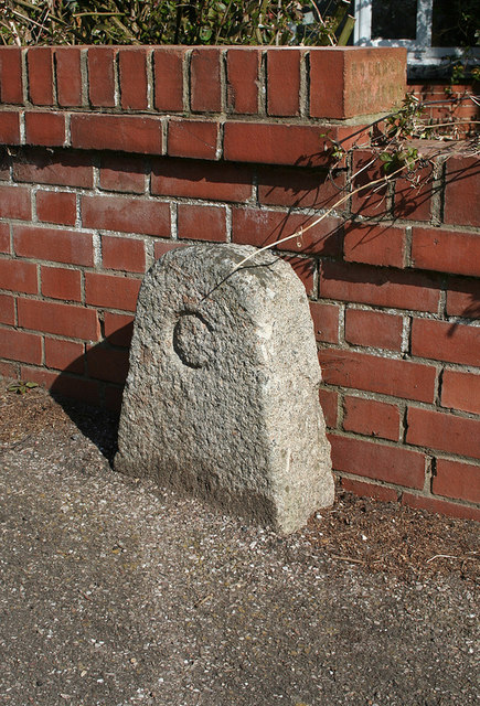
Image: © Alan Rosevear Taken: 28 Mar 2012
Bridge Marker by the UC road (was A30), in parish of Talaton (East Devon District), Fairmile, by Fairmile House, at crossroads opposite old Post office, on path by low wall. Surveyed Milestone Society National ID: DV_HNEX04br.
Images are licensed for reuse under creativecommons.org/licenses/by-sa/2.0
Image Location
Latitude
50.766642
Longitude
-3.295717