Replacement Milestone by the A396, north of Exton
Introduction
The photograph on this page of Replacement Milestone by the A396, north of Exton by A Rosevear as part of the Geograph project.
The Geograph project started in 2005 with the aim of publishing, organising and preserving representative images for every square kilometre of Great Britain, Ireland and the Isle of Man.

There are currently over 7.5m images from over 14,400 individuals and you can help contribute to the project by visiting https://www.geograph.org.uk
Replacement Milestone by the A396, north of Exton
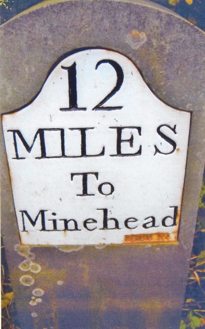
Image: © A Rosevear Taken: 3 May 2010
Replacement stone and metal plate by the A396, in parish of EXTON (WEST SOMERSET District), South of junction with Stone Lane and Witheridge Farm, in hedge near sign warning of tight bend, on West side of road. CERDIC new iron plate, erected by the County Council in the 21st century. Inscription reads:- 12 MILES To Minehead CERDIC 2006 Milestone Society National ID: SO_MHEB12.
Images are licensed for reuse under creativecommons.org/licenses/by-sa/2.0
Image Location
Latitude
51.102935
Longitude
-3.543202