Old Boundary Marker by Ashworth Lane, Astley Bridge
Introduction
The photograph on this page of Old Boundary Marker by Ashworth Lane, Astley Bridge by Philip Platt as part of the Geograph project.
The Geograph project started in 2005 with the aim of publishing, organising and preserving representative images for every square kilometre of Great Britain, Ireland and the Isle of Man.

There are currently over 7.5m images from over 14,400 individuals and you can help contribute to the project by visiting https://www.geograph.org.uk
Old Boundary Marker by Ashworth Lane, Astley Bridge
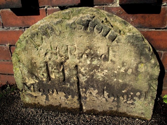
Image: © Philip Platt Taken: 19 Oct 2011
Estate Boundary Marker by the UC road, in parish of Bolton (Bolton District), Ashworth Lane, Astley Bridge, against garden wall. surveyed Milestone Society National ID: LA_BOL01em.
Images are licensed for reuse under creativecommons.org/licenses/by-sa/2.0
Image Location
Latitude
53.605419
Longitude
-2.426291