Path, Newsham
Introduction
The photograph on this page of Path, Newsham by Richard Webb as part of the Geograph project.
The Geograph project started in 2005 with the aim of publishing, organising and preserving representative images for every square kilometre of Great Britain, Ireland and the Isle of Man.

There are currently over 7.5m images from over 14,400 individuals and you can help contribute to the project by visiting https://www.geograph.org.uk
Path, Newsham
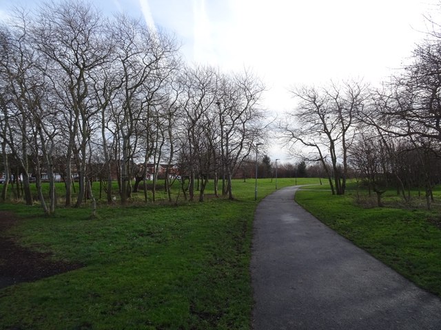
Image: © Richard Webb Taken: 26 Jan 2019
Once a path across a golf course, the area has been developed for housing. The 1982 1:50,000 map still shows a club house here.
Images are licensed for reuse under creativecommons.org/licenses/by-sa/2.0
Image Location
Latitude
55.112116
Longitude
-1.522949