Ashwell House
Introduction
The photograph on this page of Ashwell House by Derek Harper as part of the Geograph project.
The Geograph project started in 2005 with the aim of publishing, organising and preserving representative images for every square kilometre of Great Britain, Ireland and the Isle of Man.

There are currently over 7.5m images from over 14,400 individuals and you can help contribute to the project by visiting https://www.geograph.org.uk
Ashwell House
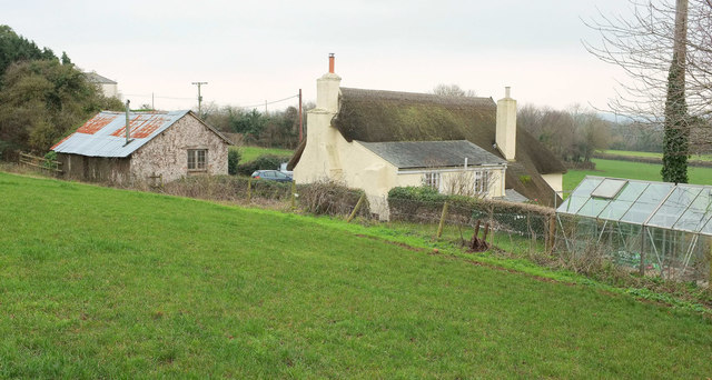
Image: © Derek Harper Taken: 20 Jan 2019
From Bishopsteignton footpath 1, which reaches a stile in the corner of the field on the left. See also Image
Images are licensed for reuse under creativecommons.org/licenses/by-sa/2.0
Image Location
Latitude
50.560037
Longitude
-3.555328