OS Cut Benchmark, 3 Ann Place
Introduction
The photograph on this page of OS Cut Benchmark, 3 Ann Place by Stephen Armstrong as part of the Geograph project.
The Geograph project started in 2005 with the aim of publishing, organising and preserving representative images for every square kilometre of Great Britain, Ireland and the Isle of Man.

There are currently over 7.5m images from over 14,400 individuals and you can help contribute to the project by visiting https://www.geograph.org.uk
OS Cut Benchmark, 3 Ann Place
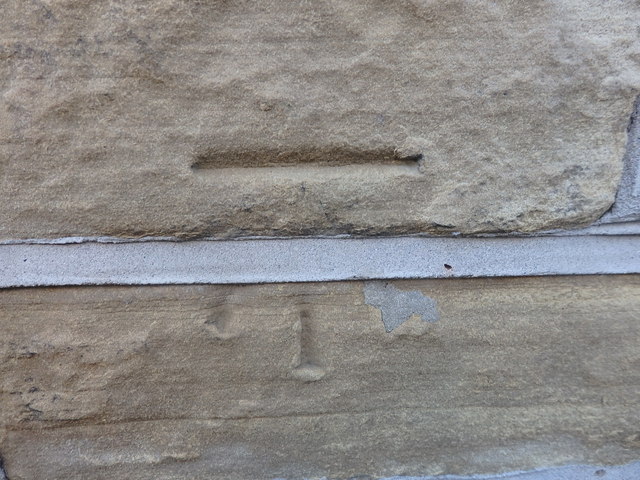
Image: © Stephen Armstrong Taken: 26 Nov 2017
This is on the side wall of the house. Details at https://www.bench-marks.org.uk/bm92183
Images are licensed for reuse under creativecommons.org/licenses/by-sa/2.0
Image Location
Latitude
53.788574
Longitude
-1.758019