Sea Wall Cromarty
Introduction
The photograph on this page of Sea Wall Cromarty by valenta as part of the Geograph project.
The Geograph project started in 2005 with the aim of publishing, organising and preserving representative images for every square kilometre of Great Britain, Ireland and the Isle of Man.

There are currently over 7.5m images from over 14,400 individuals and you can help contribute to the project by visiting https://www.geograph.org.uk
Sea Wall Cromarty
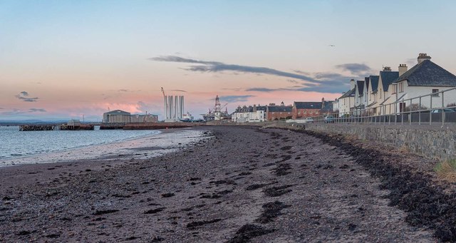
Image: © valenta Taken: 22 Jan 2019
The beach below Bayview Road looking down to the harbour. The oil rigs and graving dock at Nigg on the opposite shore of the Cromarty Firth totally dominate the village of Cromarty.
Images are licensed for reuse under creativecommons.org/licenses/by-sa/2.0
Image Location
Latitude
57.679163
Longitude
-4.040456