Up the lane towards Coed Penbryn
Introduction
The photograph on this page of Up the lane towards Coed Penbryn by Richard Law as part of the Geograph project.
The Geograph project started in 2005 with the aim of publishing, organising and preserving representative images for every square kilometre of Great Britain, Ireland and the Isle of Man.

There are currently over 7.5m images from over 14,400 individuals and you can help contribute to the project by visiting https://www.geograph.org.uk
Up the lane towards Coed Penbryn
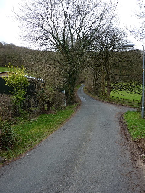
Image: © Richard Law Taken: 25 Dec 2018
A view from the southern side of Dollwen village, towards the hillside carrying the A44 Aberystwyth to Llangurig road.
Images are licensed for reuse under creativecommons.org/licenses/by-sa/2.0
Image Location
Latitude
52.411057
Longitude
-3.934865