Damaged grass verge of Chare Lane
Introduction
The photograph on this page of Damaged grass verge of Chare Lane by Trevor Littlewood as part of the Geograph project.
The Geograph project started in 2005 with the aim of publishing, organising and preserving representative images for every square kilometre of Great Britain, Ireland and the Isle of Man.

There are currently over 7.5m images from over 14,400 individuals and you can help contribute to the project by visiting https://www.geograph.org.uk
Damaged grass verge of Chare Lane
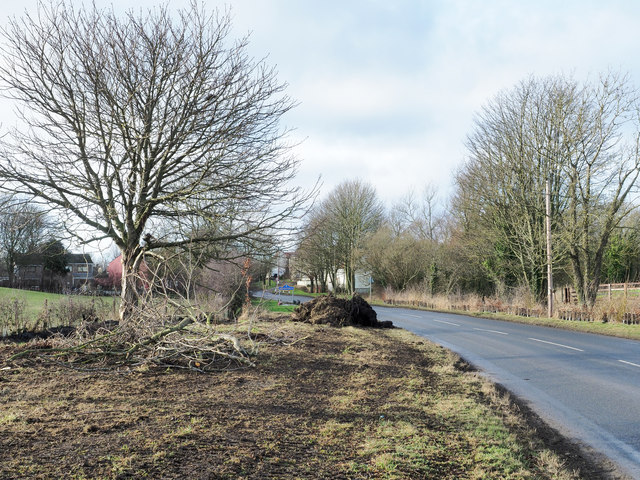
Image: © Trevor Littlewood Taken: 25 Jan 2019
Chare Lane is seen approaching Shadforth from the east. Several trees on the verge have been removed - some branch debris is in view. Machinery, including a track-laying vehicle, has run along the verge temporarily muddying its surface. Buildings in Shadforth can be seen ahead, also a typical County Durham road sign naming it in a blue and yellow livery.
Images are licensed for reuse under creativecommons.org/licenses/by-sa/2.0
Image Location
Latitude
54.762477
Longitude
-1.463195