Llwybr tuag at yr ucheldir / Path to the high ground
Introduction
The photograph on this page of Llwybr tuag at yr ucheldir / Path to the high ground by Alan Richards as part of the Geograph project.
The Geograph project started in 2005 with the aim of publishing, organising and preserving representative images for every square kilometre of Great Britain, Ireland and the Isle of Man.

There are currently over 7.5m images from over 14,400 individuals and you can help contribute to the project by visiting https://www.geograph.org.uk
Llwybr tuag at yr ucheldir / Path to the high ground
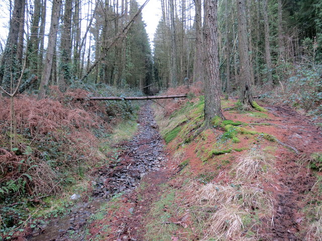
Image: © Alan Richards Taken: 23 Jan 2019
Llwybr ceffyl yn dringo lan drwy'r blanhigfa goniferaidd tuag at yr ucheldir. A bridleway ascending through the conifer plantation towards the high ground.
Images are licensed for reuse under creativecommons.org/licenses/by-sa/2.0
Image Location
Latitude
51.748754
Longitude
-3.630307