Cover Green, Warndon Villages, Worcester
Introduction
The photograph on this page of Cover Green, Warndon Villages, Worcester by Chris Allen as part of the Geograph project.
The Geograph project started in 2005 with the aim of publishing, organising and preserving representative images for every square kilometre of Great Britain, Ireland and the Isle of Man.

There are currently over 7.5m images from over 14,400 individuals and you can help contribute to the project by visiting https://www.geograph.org.uk
Cover Green, Warndon Villages, Worcester
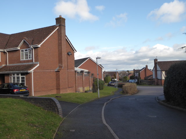
Image: © Chris Allen Taken: 11 Feb 2018
One of many street in many named districts in the Warndon Villages complex of housing estates. Thirty years ago this was a rural fringe on the edge of Worcester but is now home to thousands of people.
Images are licensed for reuse under creativecommons.org/licenses/by-sa/2.0
Image Location
Latitude
52.199208
Longitude
-2.183868