Plas Llanarmon
Introduction
The photograph on this page of Plas Llanarmon by Eirian Evans as part of the Geograph project.
The Geograph project started in 2005 with the aim of publishing, organising and preserving representative images for every square kilometre of Great Britain, Ireland and the Isle of Man.

There are currently over 7.5m images from over 14,400 individuals and you can help contribute to the project by visiting https://www.geograph.org.uk
Plas Llanarmon
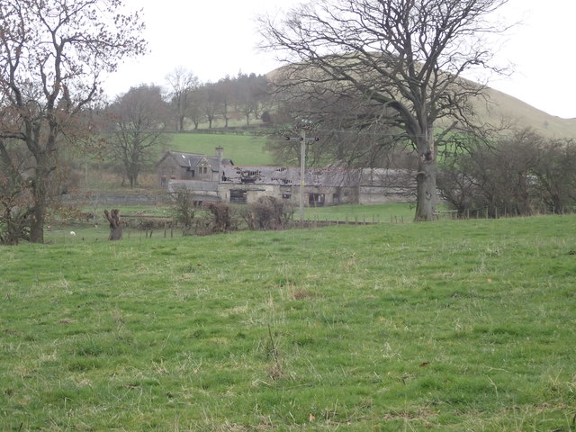
Image: © Eirian Evans Taken: 14 Jan 2019
A Grade II listed farmhouse whose barns look like they need a little bit of repair.
Images are licensed for reuse under creativecommons.org/licenses/by-sa/2.0
Image Location
Latitude
53.093151
Longitude
-3.219526