Slipway to the River Crane
Introduction
The photograph on this page of Slipway to the River Crane by Des Blenkinsopp as part of the Geograph project.
The Geograph project started in 2005 with the aim of publishing, organising and preserving representative images for every square kilometre of Great Britain, Ireland and the Isle of Man.

There are currently over 7.5m images from over 14,400 individuals and you can help contribute to the project by visiting https://www.geograph.org.uk
Slipway to the River Crane
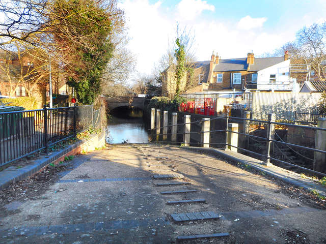
Image: © Des Blenkinsopp Taken: 8 Jan 2019
The Crane joins the Thames Tideway a couple of hundred metres on from here. Depending on the tide, small boats can use the lowest section of the river to reach this out of the way slipway. It belongs to the Environment Agency.
Images are licensed for reuse under creativecommons.org/licenses/by-sa/2.0
Image Location
Latitude
51.465133
Longitude
-0.323868