Weir on the River Garnock
Introduction
The photograph on this page of Weir on the River Garnock by Thomas Nugent as part of the Geograph project.
The Geograph project started in 2005 with the aim of publishing, organising and preserving representative images for every square kilometre of Great Britain, Ireland and the Isle of Man.

There are currently over 7.5m images from over 14,400 individuals and you can help contribute to the project by visiting https://www.geograph.org.uk
Weir on the River Garnock
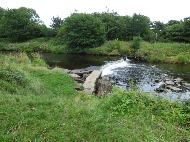
Image: © Thomas Nugent Taken: 6 Aug 2018
Not far upstream from Dirrans footbridge.
Images are licensed for reuse under creativecommons.org/licenses/by-sa/2.0
Image Location
Latitude
55.647908
Longitude
-4.691501