Hill House, North End
Introduction
The photograph on this page of Hill House, North End by Paul Glazzard as part of the Geograph project.
The Geograph project started in 2005 with the aim of publishing, organising and preserving representative images for every square kilometre of Great Britain, Ireland and the Isle of Man.

There are currently over 7.5m images from over 14,400 individuals and you can help contribute to the project by visiting https://www.geograph.org.uk
Hill House, North End
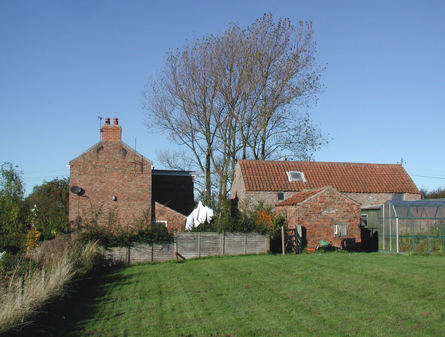
Image: © Paul Glazzard Taken: 30 Oct 2007
Farmhouse at the northern end of the public footpath between Butcher's Lane and Cowden Lane, Withernwick.
Images are licensed for reuse under creativecommons.org/licenses/by-sa/2.0
Image Location
Latitude
53.853536
Longitude
-0.183399