Southeast end of Cae Llwyndu, Nelson
Introduction
The photograph on this page of Southeast end of Cae Llwyndu, Nelson by Jaggery as part of the Geograph project.
The Geograph project started in 2005 with the aim of publishing, organising and preserving representative images for every square kilometre of Great Britain, Ireland and the Isle of Man.

There are currently over 7.5m images from over 14,400 individuals and you can help contribute to the project by visiting https://www.geograph.org.uk
Southeast end of Cae Llwyndu, Nelson
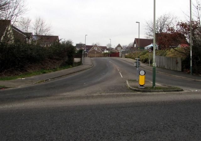
Image: © Jaggery Taken: 5 Jan 2019
The road named Cae Llwyndu ascends to the NW away from the A472. The speed limit drops to 30mph.
Images are licensed for reuse under creativecommons.org/licenses/by-sa/2.0
Image Location
Latitude
51.64837
Longitude
-3.285438