Thrybergh Level Crossing
Introduction
The photograph on this page of Thrybergh Level Crossing by Jonathan Thacker as part of the Geograph project.
The Geograph project started in 2005 with the aim of publishing, organising and preserving representative images for every square kilometre of Great Britain, Ireland and the Isle of Man.

There are currently over 7.5m images from over 14,400 individuals and you can help contribute to the project by visiting https://www.geograph.org.uk
Thrybergh Level Crossing
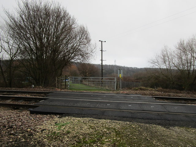
Image: © Jonathan Thacker Taken: 19 Jan 2019
The crossing gates are kept locked. The track only provides access to Kilnhurst Lock.
Images are licensed for reuse under creativecommons.org/licenses/by-sa/2.0
Image Location
Latitude
53.463946
Longitude
-1.305733