Tuag at Benrhiw / Towards Penrhiw
Introduction
The photograph on this page of Tuag at Benrhiw / Towards Penrhiw by Alan Richards as part of the Geograph project.
The Geograph project started in 2005 with the aim of publishing, organising and preserving representative images for every square kilometre of Great Britain, Ireland and the Isle of Man.

There are currently over 7.5m images from over 14,400 individuals and you can help contribute to the project by visiting https://www.geograph.org.uk
Tuag at Benrhiw / Towards Penrhiw
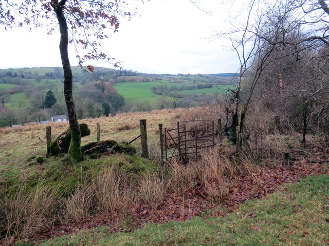
Image: © Alan Richards Taken: 19 Jan 2019
Llwybr cyhoeddus yn mynd i gyfeiriad anhedd-dy o'r enw Penrhiw. A public footpath heading towards a property known as Penrhiw (trans. top of the hill).
Images are licensed for reuse under creativecommons.org/licenses/by-sa/2.0
Image Location


Leaflet Map data © OpenStreetMap
Latitude
51.875602
Longitude
-3.879245