From 30 to 20 on Henfaes Road, Tonna
Introduction
The photograph on this page of From 30 to 20 on Henfaes Road, Tonna by Jaggery as part of the Geograph project.
The Geograph project started in 2005 with the aim of publishing, organising and preserving representative images for every square kilometre of Great Britain, Ireland and the Isle of Man.

There are currently over 7.5m images from over 14,400 individuals and you can help contribute to the project by visiting https://www.geograph.org.uk
From 30 to 20 on Henfaes Road, Tonna
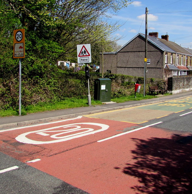
Image: © Jaggery Taken: 5 May 2016
The speed limit on the B4434 Henfaes Road drops to 20mph on the approach to Tonnau Primary Community School. https://www.geograph.org.uk/photo/5076477 Though the village is usually known as Tonna in English, the Welsh Tonnau is part of the English name of the school known as Ysgol Gynradd Gymunedol Tonnau in Welsh.
Images are licensed for reuse under creativecommons.org/licenses/by-sa/2.0
Image Location
Latitude
51.673657
Longitude
-3.7799