Simon Evans Way
Introduction
The photograph on this page of Simon Evans Way by John M as part of the Geograph project.
The Geograph project started in 2005 with the aim of publishing, organising and preserving representative images for every square kilometre of Great Britain, Ireland and the Isle of Man.

There are currently over 7.5m images from over 14,400 individuals and you can help contribute to the project by visiting https://www.geograph.org.uk
Simon Evans Way
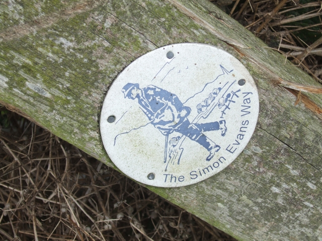
Image: © John M Taken: 3 Nov 2007
Circular route based upon the daily postal route taken by Simon Evans the Postman/Writer. The route is an 18 mile figure of eight passing the farms in the valley of the Rea Brook between Cleobury Mortimer and Stottesdon. http://www.cmfa.co.uk/simonevansway.html
Images are licensed for reuse under creativecommons.org/licenses/by-sa/2.0
Image Location


Leaflet Map data © OpenStreetMap
Latitude
52.394419
Longitude
-2.488439