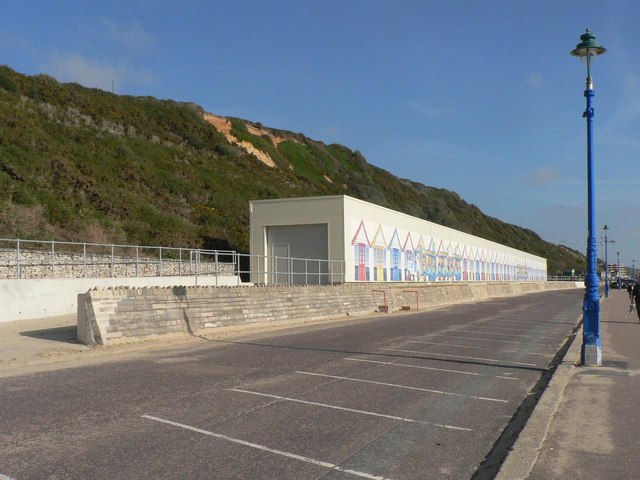
Bournemouth: land-train shed
Introduction
The photograph on this page of Bournemouth: land-train shed by Chris Downer as part of the Geograph project.
The Geograph project started in 2005 with the aim of publishing, organising and preserving representative images for every square kilometre of Great Britain, Ireland and the Isle of Man.
There are currently over 7.5m images from over 14,400 individuals and you can help contribute to the project by visiting https://www.geograph.org.uk

Image: © Chris Downer Taken: 3 Nov 2007
A new home for the Image which runs between the Pier and Southbourne. See Image It was erected without planning permission and it is, apparently, ½m too high. The council's Leisure Services department are trying to get retrospective planning permission; they have failed once but are trying again, this time pointing out that the beach huts which previously occupied the site were hardly any shorter, and that the extra ½m will allow the shed to accommodate the vehicles for many years to come.

