Ruined croft house beside the road to Sallachy
Introduction
The photograph on this page of Ruined croft house beside the road to Sallachy by John Lucas as part of the Geograph project.
The Geograph project started in 2005 with the aim of publishing, organising and preserving representative images for every square kilometre of Great Britain, Ireland and the Isle of Man.

There are currently over 7.5m images from over 14,400 individuals and you can help contribute to the project by visiting https://www.geograph.org.uk
Ruined croft house beside the road to Sallachy
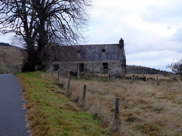
Image: © John Lucas Taken: 10 Jan 2019
Has been replaced by a nearby modern building.
Images are licensed for reuse under creativecommons.org/licenses/by-sa/2.0
Image Location


Leaflet Map data © OpenStreetMap
Latitude
58.01361
Longitude
-4.436147