Bridleway to Broadwell
Introduction
The photograph on this page of Bridleway to Broadwell by Stephen McKay as part of the Geograph project.
The Geograph project started in 2005 with the aim of publishing, organising and preserving representative images for every square kilometre of Great Britain, Ireland and the Isle of Man.

There are currently over 7.5m images from over 14,400 individuals and you can help contribute to the project by visiting https://www.geograph.org.uk
Bridleway to Broadwell
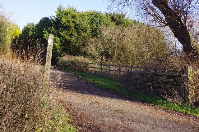
Image: © Stephen McKay Taken: 8 Jan 2019
The track is the beginning of a bridleway leading off Daventry Road just to the east of the Southam by-pass. It also gives access to Glebe Farm.
Images are licensed for reuse under creativecommons.org/licenses/by-sa/2.0
Image Location
Latitude
52.253565
Longitude
-1.381764