Benchmark on the wall in front of #4 Burleigh Road
Introduction
The photograph on this page of Benchmark on the wall in front of #4 Burleigh Road by Roger Templeman as part of the Geograph project.
The Geograph project started in 2005 with the aim of publishing, organising and preserving representative images for every square kilometre of Great Britain, Ireland and the Isle of Man.

There are currently over 7.5m images from over 14,400 individuals and you can help contribute to the project by visiting https://www.geograph.org.uk
Benchmark on the wall in front of #4 Burleigh Road
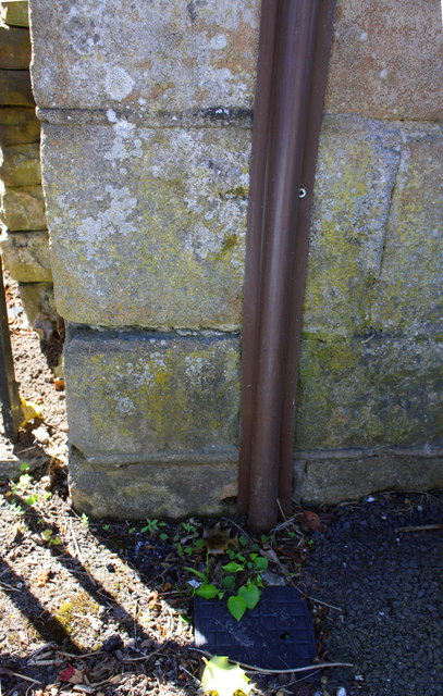
Image: © Roger Templeman Taken: 14 May 2018
Ordnance Survey cut mark benchmark, partly hidden behind cable guard, levelled at 28.164m above Newlyn Datum with more information on the Bench Mark Database at www.bench-marks.org.uk/bm112891
Images are licensed for reuse under creativecommons.org/licenses/by-sa/2.0
Image Location
Latitude
52.92457
Longitude
-1.123843