Boundary in Cwm Mynach
Introduction
The photograph on this page of Boundary in Cwm Mynach by John Lucas as part of the Geograph project.
The Geograph project started in 2005 with the aim of publishing, organising and preserving representative images for every square kilometre of Great Britain, Ireland and the Isle of Man.

There are currently over 7.5m images from over 14,400 individuals and you can help contribute to the project by visiting https://www.geograph.org.uk
Boundary in Cwm Mynach
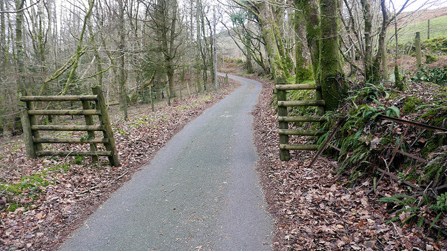
Image: © John Lucas Taken: 5 Jan 2019
Just to the south of Ty'n-y-coed, still marked as gated on current maps but the gate stands disused by the bank. There are other gates on this road through the valley which are still in use.
Images are licensed for reuse under creativecommons.org/licenses/by-sa/2.0
Image Location
Latitude
52.762742
Longitude
-3.943309