RUPP through Bentsley spinney, Marshalswick
Introduction
The photograph on this page of RUPP through Bentsley spinney, Marshalswick by Mike Hartley as part of the Geograph project.
The Geograph project started in 2005 with the aim of publishing, organising and preserving representative images for every square kilometre of Great Britain, Ireland and the Isle of Man.

There are currently over 7.5m images from over 14,400 individuals and you can help contribute to the project by visiting https://www.geograph.org.uk
RUPP through Bentsley spinney, Marshalswick
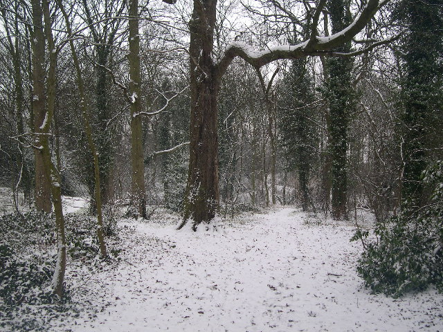
Image: © Mike Hartley Taken: 4 Mar 2005
(Road Used as a Public Path) TL1609 has changed dramatically since the 30s. Post war housing now dominates land use in the SE of the square, newer housing to the SW and W, schools and community open space to the north. Happily there remain several green spaces, including Bentsley Spinney at the west edge of the square. Bentsey Spinney used to be used for gravel extraction, deressions due to gravel pit existing in the Spinney. TL1609.. a nice place to live...
Images are licensed for reuse under creativecommons.org/licenses/by-sa/2.0
Image Location


Leaflet Map data © OpenStreetMap
Latitude
51.77206
Longitude
-0.312957