Track to Crow Trees Nature Reserve
Introduction
The photograph on this page of Track to Crow Trees Nature Reserve by David Robinson as part of the Geograph project.
The Geograph project started in 2005 with the aim of publishing, organising and preserving representative images for every square kilometre of Great Britain, Ireland and the Isle of Man.

There are currently over 7.5m images from over 14,400 individuals and you can help contribute to the project by visiting https://www.geograph.org.uk
Track to Crow Trees Nature Reserve
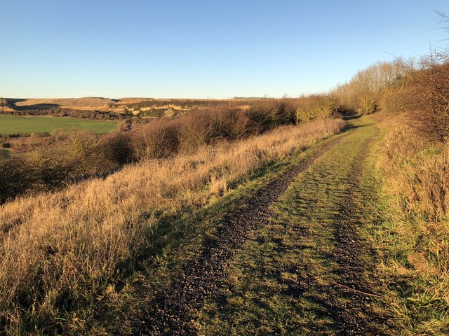
Image: © David Robinson Taken: 24 Dec 2018
Crow Trees Nature Reserve occupies a triangle of land bounded on two sides by a steep limestone escarpment. Once the location of mining activity with several early shafts sunk in the vicinity and a waggonway connection to the Clarence Railway at Coxhoe, the site contains the remains of the final colliery winding foundation, and ponds created using springs from the base of the escarpment to provide the mine with water.
Images are licensed for reuse under creativecommons.org/licenses/by-sa/2.0
Image Location
Latitude
54.728876
Longitude
-1.486154