Ruined building at Humber Lock Farm
Introduction
The photograph on this page of Ruined building at Humber Lock Farm by Graham Hogg as part of the Geograph project.
The Geograph project started in 2005 with the aim of publishing, organising and preserving representative images for every square kilometre of Great Britain, Ireland and the Isle of Man.

There are currently over 7.5m images from over 14,400 individuals and you can help contribute to the project by visiting https://www.geograph.org.uk
Ruined building at Humber Lock Farm
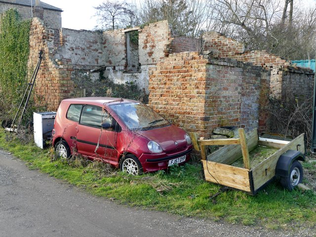
Image: © Graham Hogg Taken: 8 Jan 2019
The car looks to have been abandoned also.
Images are licensed for reuse under creativecommons.org/licenses/by-sa/2.0
Image Location
Latitude
53.720027
Longitude
-0.67595