Flood prevention work at Blacktoft
Introduction
The photograph on this page of Flood prevention work at Blacktoft by Graham Hogg as part of the Geograph project.
The Geograph project started in 2005 with the aim of publishing, organising and preserving representative images for every square kilometre of Great Britain, Ireland and the Isle of Man.

There are currently over 7.5m images from over 14,400 individuals and you can help contribute to the project by visiting https://www.geograph.org.uk
Flood prevention work at Blacktoft
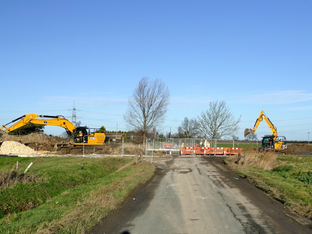
Image: © Graham Hogg Taken: 8 Jan 2019
A field drain is being widened and deepened to alleviate flooding to the north Image The work here is to build a culvert under a minor road.
Images are licensed for reuse under creativecommons.org/licenses/by-sa/2.0
Image Location
Latitude
53.715386
Longitude
-0.720343