Goodmayes: Percy Road
Introduction
The photograph on this page of Goodmayes: Percy Road by Nigel Cox as part of the Geograph project.
The Geograph project started in 2005 with the aim of publishing, organising and preserving representative images for every square kilometre of Great Britain, Ireland and the Isle of Man.

There are currently over 7.5m images from over 14,400 individuals and you can help contribute to the project by visiting https://www.geograph.org.uk
Goodmayes: Percy Road
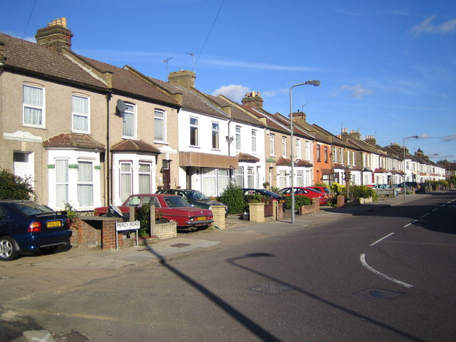
Image: © Nigel Cox Taken: 30 Oct 2007
Terraced housing on Percy Road viewed from its western end at the junction with Westwood Road.
Images are licensed for reuse under creativecommons.org/licenses/by-sa/2.0
Image Location


Leaflet Map data © OpenStreetMap
Latitude
51.570148
Longitude
0.10669