Ilford: Eton Road
Introduction
The photograph on this page of Ilford: Eton Road by Nigel Cox as part of the Geograph project.
The Geograph project started in 2005 with the aim of publishing, organising and preserving representative images for every square kilometre of Great Britain, Ireland and the Isle of Man.

There are currently over 7.5m images from over 14,400 individuals and you can help contribute to the project by visiting https://www.geograph.org.uk
Ilford: Eton Road
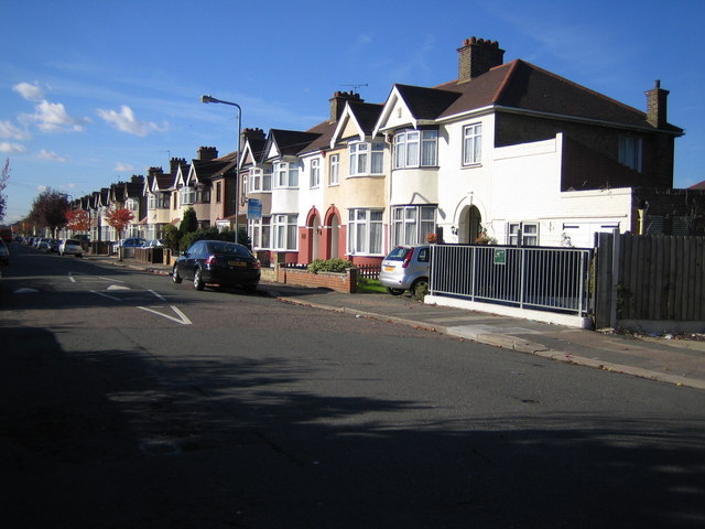
Image: © Nigel Cox Taken: 30 Oct 2007
The 1920s/1930s housing is typical of this large estate. The grey railings on the right show the location of the route of the stream called Loxford Water as it passes under Eton Road here.
Images are licensed for reuse under creativecommons.org/licenses/by-sa/2.0
Image Location
Latitude
51.552409
Longitude
0.092888