Queen Ethelburga's Park
Introduction
The photograph on this page of Queen Ethelburga's Park by Derek Harper as part of the Geograph project.
The Geograph project started in 2005 with the aim of publishing, organising and preserving representative images for every square kilometre of Great Britain, Ireland and the Isle of Man.

There are currently over 7.5m images from over 14,400 individuals and you can help contribute to the project by visiting https://www.geograph.org.uk
Queen Ethelburga's Park
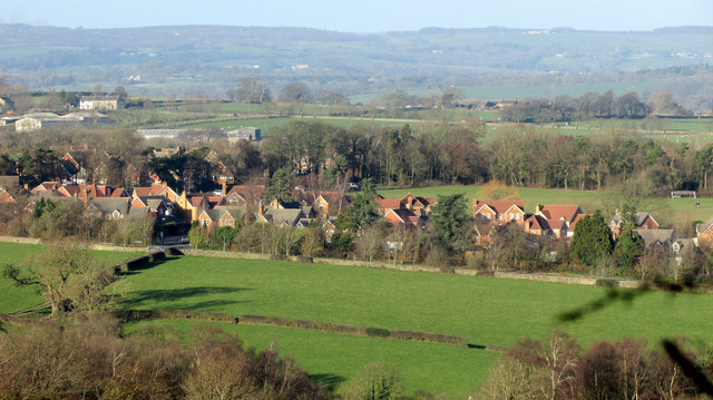
Image: © Derek Harper Taken: 1 Jan 2019
Housing off Pennypot Lane seen from the same spot as Image] and Image This was built on the original site of Queen Ethelburga’s School, which moved to a new site in 1991. Away to the left are farm buildings and houses on Saltergate Hill.
Images are licensed for reuse under creativecommons.org/licenses/by-sa/2.0
Image Location
Latitude
53.994796
Longitude
-1.577447