New housing west of Harrogate
Introduction
The photograph on this page of New housing west of Harrogate by Derek Harper as part of the Geograph project.
The Geograph project started in 2005 with the aim of publishing, organising and preserving representative images for every square kilometre of Great Britain, Ireland and the Isle of Man.

There are currently over 7.5m images from over 14,400 individuals and you can help contribute to the project by visiting https://www.geograph.org.uk
New housing west of Harrogate
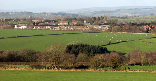
Image: © Derek Harper Taken: 1 Jan 2019
New housing being built on Pennypot Lane between Youngs Drive and Oaker Bank - Hildebrand barracks is on the left.
Images are licensed for reuse under creativecommons.org/licenses/by-sa/2.0
Image Location
Latitude
53.993913
Longitude
-1.582032