Nuneaton Fundamental Benchmark
Introduction
The photograph on this page of Nuneaton Fundamental Benchmark by Shantavira as part of the Geograph project.
The Geograph project started in 2005 with the aim of publishing, organising and preserving representative images for every square kilometre of Great Britain, Ireland and the Isle of Man.

There are currently over 7.5m images from over 14,400 individuals and you can help contribute to the project by visiting https://www.geograph.org.uk
Nuneaton Fundamental Benchmark
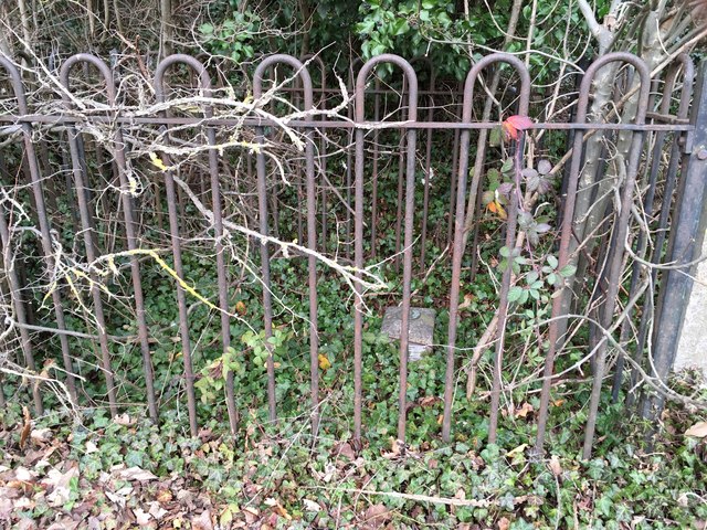
Image: © Shantavira Taken: 4 Jan 2019
Nuneaton Fundamental Benchmark. In a hedge on the north side of Camp Hill Road about 70m from the junction with Mancetter Road. FBMs are the key to the whole levelling of the UK. This is just the top of a fairly extensive underground structure on bedrock. These highly accurate height stations are still used today as the baseline to levelling. This fundamental bench mark was established in 1913 during the second geodetic levelling of England & Wales, and was levelled with a height of 459.8170 feet (140.1522 metres) above mean sea level (Newlyn datum). It was included on the Melbourne to Nuneaton and Warwick to Nuneaton levelling lines. Close up shot at https://www.geograph.org.uk/photo/6017087
Images are licensed for reuse under creativecommons.org/licenses/by-sa/2.0
Image Location
Latitude
52.535428
Longitude
-1.50018