Bacon Lane, Kingsbury
Introduction
The photograph on this page of Bacon Lane, Kingsbury by David Howard as part of the Geograph project.
The Geograph project started in 2005 with the aim of publishing, organising and preserving representative images for every square kilometre of Great Britain, Ireland and the Isle of Man.

There are currently over 7.5m images from over 14,400 individuals and you can help contribute to the project by visiting https://www.geograph.org.uk
Bacon Lane, Kingsbury
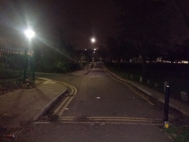
Image: © David Howard Taken: 2 Jan 2019
This is the short end leading to Kingsbury County School, the other end leads to it from the opposite direction with a path through the park in the middle.
Images are licensed for reuse under creativecommons.org/licenses/by-sa/2.0
Image Location
Latitude
51.586335
Longitude
-0.267157