The holy well at St Neot - approach
Introduction
The photograph on this page of The holy well at St Neot - approach by Stephen Craven as part of the Geograph project.
The Geograph project started in 2005 with the aim of publishing, organising and preserving representative images for every square kilometre of Great Britain, Ireland and the Isle of Man.

There are currently over 7.5m images from over 14,400 individuals and you can help contribute to the project by visiting https://www.geograph.org.uk
The holy well at St Neot - approach
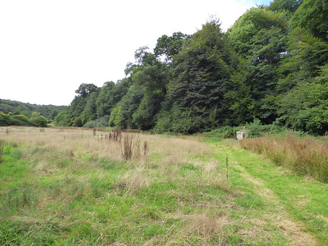
Image: © Stephen Craven Taken: 9 Aug 2018
A medieval well, restored in 1862 and now listed grade II (list entry 1160035). The approach is across a grassy field, which I imagine must have been quite a mud-bath when the whole village population tramped across it to fetch water.
Images are licensed for reuse under creativecommons.org/licenses/by-sa/2.0
Image Location


Leaflet Map data © OpenStreetMap
Latitude
50.483859
Longitude
-4.561869