Pond by Eithar Bach brook
Introduction
The photograph on this page of Pond by Eithar Bach brook by Penny Mayes as part of the Geograph project.
The Geograph project started in 2005 with the aim of publishing, organising and preserving representative images for every square kilometre of Great Britain, Ireland and the Isle of Man.

There are currently over 7.5m images from over 14,400 individuals and you can help contribute to the project by visiting https://www.geograph.org.uk
Pond by Eithar Bach brook
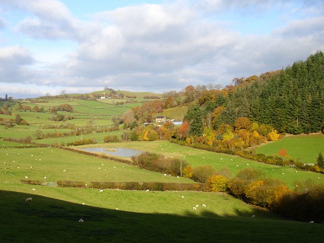
Image: © Penny Mayes Taken: 2 Nov 2007
This pond looks man-made and doesn't appear to be mapped. The forestry plantation on the right seems to be called Bron Fedw (which I thought had something to do with birch trees) and covers a steep escarpment. Celyn Farm, in the centre of the image, is in the next square. Taken from the road to Gelli Farm.
Images are licensed for reuse under creativecommons.org/licenses/by-sa/2.0
Image Location
Latitude
52.724162
Longitude
-3.258215