Victoria Way
Introduction
The photograph on this page of Victoria Way by Colin Smith as part of the Geograph project.
The Geograph project started in 2005 with the aim of publishing, organising and preserving representative images for every square kilometre of Great Britain, Ireland and the Isle of Man.

There are currently over 7.5m images from over 14,400 individuals and you can help contribute to the project by visiting https://www.geograph.org.uk
Victoria Way
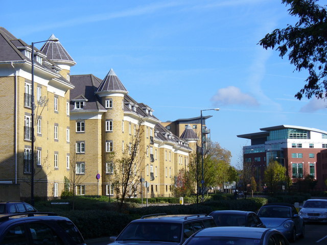
Image: © Colin Smith Taken: 2 Nov 2007
Arterial dual-carriageway road cutting across the northern edge of Woking town centre. These flats were built ca 2005.
Images are licensed for reuse under creativecommons.org/licenses/by-sa/2.0
Image Location


Leaflet Map data © OpenStreetMap
Latitude
51.322277
Longitude
-0.555979