Vicarage Farmhouse (Yarpole)
Introduction
The photograph on this page of Vicarage Farmhouse (Yarpole) by Fabian Musto as part of the Geograph project.
The Geograph project started in 2005 with the aim of publishing, organising and preserving representative images for every square kilometre of Great Britain, Ireland and the Isle of Man.

There are currently over 7.5m images from over 14,400 individuals and you can help contribute to the project by visiting https://www.geograph.org.uk
Vicarage Farmhouse (Yarpole)
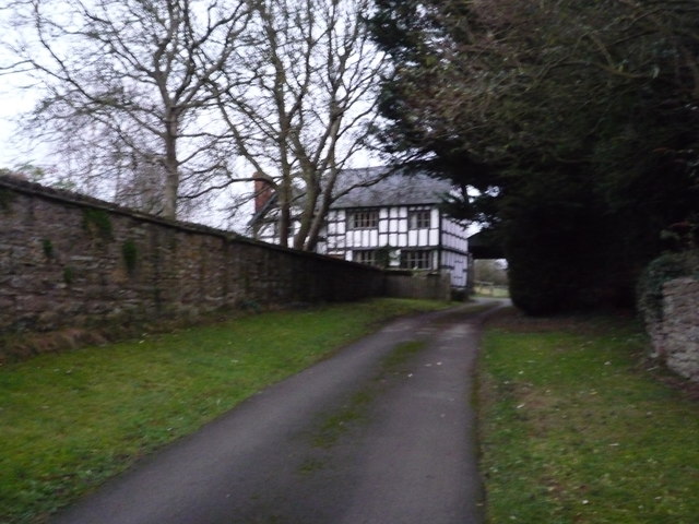
Image: © Fabian Musto Taken: 28 Dec 2018
The timber-frame Vicarage farmhouse at Yarpole is nearby to St. Leonard's Church.
Images are licensed for reuse under creativecommons.org/licenses/by-sa/2.0
Image Location
Latitude
52.279488
Longitude
-2.779597